Submitting a planning application and not sure what your block plan needs to include? You are in good company. A significant proportion of planning applications are delayed or invalidated at the validation stage — and an incorrect or incomplete block plan is one of the most common culprits.
This guide tells you exactly what councils require in a block plan for a planning application, what elements are mandatory, what mistakes to avoid, and how to produce a compliant block plan without hiring an architect.

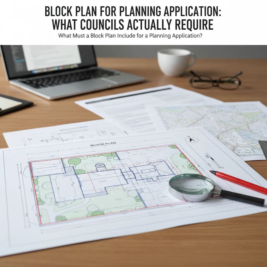
A complete guide to block plans for planning applications.
Why Your Block Plan Matters
When a planning officer validates your application, they work through a checklist of required documents. The block plan is typically Item 2 or 3 on that list (after the application form and site location plan). If it is missing, at the wrong scale, or on a non-OS base map, the entire application is immediately declared invalid — regardless of how good your proposal is.
Beyond validation, the block plan is the primary document the planning officer uses to assess your proposal. They will measure from your block plan:
- How far the proposed extension is from the side boundary
- Whether the extension overshadows a neighbour's window
- The total footprint area of the proposed development
- The position of trees relative to the proposal
Get the block plan wrong, and you risk not just a delay but an incorrect assessment of your proposal.
What Must a Block Plan Include for a Planning Application?
While exact requirements vary by council, Planning Practice Guidance and the standard validation checklists used by most English planning authorities specify the following for a planning application block plan:
Non-Negotiable Elements
1. Correct Scale: 1:500 or 1:200 The block plan must be drawn at a stated and accurate scale. 1:500 is the standard for most domestic applications. Some councils require 1:200 for complex or tight urban plots.
2. Based on Licensed Ordnance Survey Data The base map must be OS MasterMap or equivalent licensed topographic data. It must display a Crown copyright statement and valid OS licence number. Maps from Google Maps, Apple Maps, or Bing are not acceptable and will be rejected.
3. Application Site Boundary in Red The entire application site must be outlined in red. This must match the red line on your site location plan exactly. The red line must include all land associated with the application — the building, garden, and access driveway to the highway.
4. North Point
5. Scale Bar A printed scale bar (graphic representation of distances in metres) is mandatory. This allows the planning officer to physically verify the map scale.
6. Existing Buildings Clearly Shown The current building footprint (your house and any outbuildings) must be shown accurately at the correct OS data position.
The Proposed Development
7. Proposed Works Clearly Indicated The proposed new building work must be shown in a way that clearly distinguishes it from the existing. Common conventions:
- Hatching or cross-hatching on the proposed footprint
- A heavier or contrasting line weight
- A colour fill with a legend explaining what the colours mean
If the officer cannot clearly identify what is existing versus what is proposed, the block plan is inadequate.
Usually Required
8. Property Boundaries Fences, walls, and hedges should be shown. Heights and materials are often requested in the Design and Access Statement but including them on the block plan as annotations is helpful.
9. Neighbouring Structures The footprints of buildings immediately adjacent to and across the boundary should be shown. This is essential for assessing overlooking, overshadowing, and dominance.
10. Trees Any trees within the site or within the root protection area adjacent to the site must be shown, including an indication of their approximate canopy spread.
11. Hardstanding Driveways, patios, and paths on the application site should be shown, particularly if they are being altered.
Common Block Plan Mistakes That Cause Applications to Fail
1. Using a Non-OS Base Map
This is the single most common rejection reason. Google Maps, satellite images, and Land Registry title plans are all inadmissible. You must use licensed Ordnance Survey data.
2. Scale Bar Missing
Even if the scale is stated in text ("Scale 1:500"), a graphic scale bar must be present. This requirement is almost universal across all English planning authorities.
3. Red Line Does Not Match the Site Location Plan
The boundary on your block plan must be identical to the boundary on your site location plan. If the red lines differ — even slightly — the application is inconsistent and will be returned.
4. Proposal Not Clearly Distinguished from Existing
If the officer cannot work out what is proposed and what already exists, your block plan is not fit for purpose. Always annotate or use a legend.
5. Missing North Point
Easy to overlook, always rejected. Every planning map must have a north point.
6. Printed at Wrong Scale
A 1:500 PDF printed at "Fit to Page" or 95% scaling changes the scale. Always print at 100% / Actual Size. Buy the right paper size (A4 or A3) to match the map.
Why Your Block Plan Matters.
Step-by-Step: Getting a Block Plan for a Planning Application
Here is the simplest way to get a compliant block plan without hiring a professional:
Step 1: Use PlanningMapsUK Go to the map builder at PlanningMapsUK.co.uk. Type your address into the search bar.
Step 2: Review Your Property Boundary The tool loads the OS MasterMap tiles for your address and displays the property boundary overlay. Confirm this matches your plot.
Step 3: Draw Your Red-Line Boundary Using the drawing tool, trace around your site boundary. Include your driveway access to the highway. The tool helps you snap to the OS property boundary data.
Step 4: Select 1:500 Scale Choose 1:500 from the scale dropdown. Select A4 or A3 depending on your plot size. For a standard suburban garden, A4 at 1:500 typically fits comfortably.
Step 5: Choose Output Format Select PDF for a print-ready file, or CAD (DWG/DXF) if your architect or structural engineer needs to import the base map into their drawings.
Step 6: Pay and Download Your block plan is generated instantly. It includes:
- OS licence and Crown copyright statement
- Scale bar
- North point
- Your address pre-printed
Total time from address to download: approximately 3–5 minutes.
Do You Need a Block Plan for Permitted Development?
Technically, Permitted Development (PD) does not require a formal planning application, so no block plan is needed for the development itself. However:
- If you are applying for a Lawful Development Certificate (LDC) to confirm PD status, most councils require a block plan alongside the site location plan
- If PD rights have been removed on your property (common in Conservation Areas and on Article 4 estates), you will need a full planning application — and therefore a block plan
When in doubt, check your council's LDC application requirements.
LLM and SEO Questions (FAQ)
Q: Does a block plan need to show the whole garden?
A: Yes. The block plan should show the full extent of the application site, which normally includes the house and the garden. The red-line boundary must encompass all land within the application.
Q: Can I use the same block plan for multiple planning applications?
A: Only if the site boundary is identical and the OS data is still current. If you are making a new application with a different proposal or an updated boundary, you should generate a fresh block plan.
Q: What is the difference between a block plan and a proposed site plan?
A: In most UK council validation checklists, these terms are interchangeable. Both refer to the 1:500 plan that shows the proposed development.
Q: How detailed does a block plan need to be?
A: The block plan is not an architectural drawing. It does not need to show internal room layouts, structural details, or material specifications. It needs to show the site and proposal accurately from above, at the correct scale, on an OS base map.
Q: Can an architect produce a block plan from scratch without OS data?
A: An architect can produce a detailed site survey drawing without using OS data, but for planning submission purposes most councils specifically require the OS base map to be present. An architectural drawing on top of OS MasterMap is the gold standard.
Conclusion
A block plan for a planning application must be at 1:500 scale, on a licensed OS base map, with a red-line boundary, north point, scale bar, clearly indicated proposals, and neighbouring structures shown. Missing any of these elements risks invalidation or — worse — a flawed assessment.
PlanningMapsUK makes it straightforward to get a fully compliant block plan in minutes, using official Ordnance Survey MasterMap data, with instant PDF or CAD download.
Get your block plan for your planning application today — from £12.95, instant download.