
OS MasterMap CAD and GIS
Plan professional OS MasterMap CAD and GIS data cuts across DWG, DXF, GeoPackage, Shapefile, GML, GeoTIFF and vector PDF formats.
View CAD and GIS formats
OS CAD Planning Maps
Choose licensed Ordnance Survey CAD mapping at scales from 1:200 to 1:10000. Receive georeferenced DWG and DXF linework for architectural, planning and consultant workflows.
Already purchased? View your orders
|
See what customers say
Loading map...
Search an address to begin
By clicking "Buy & download now", you agree to our terms, refund and corrections policy.
Search an address to begin
By clicking "Buy & download now", you agree to our terms, refund and corrections policy.
OS CAD maps UK
PlanningMapsUK generates licensed Ordnance Survey CAD map extracts as georeferenced DWG and DXF linework. They are designed for architects, planning consultants, surveyors and development teams that need an editable mapping base instead of a fixed PDF.
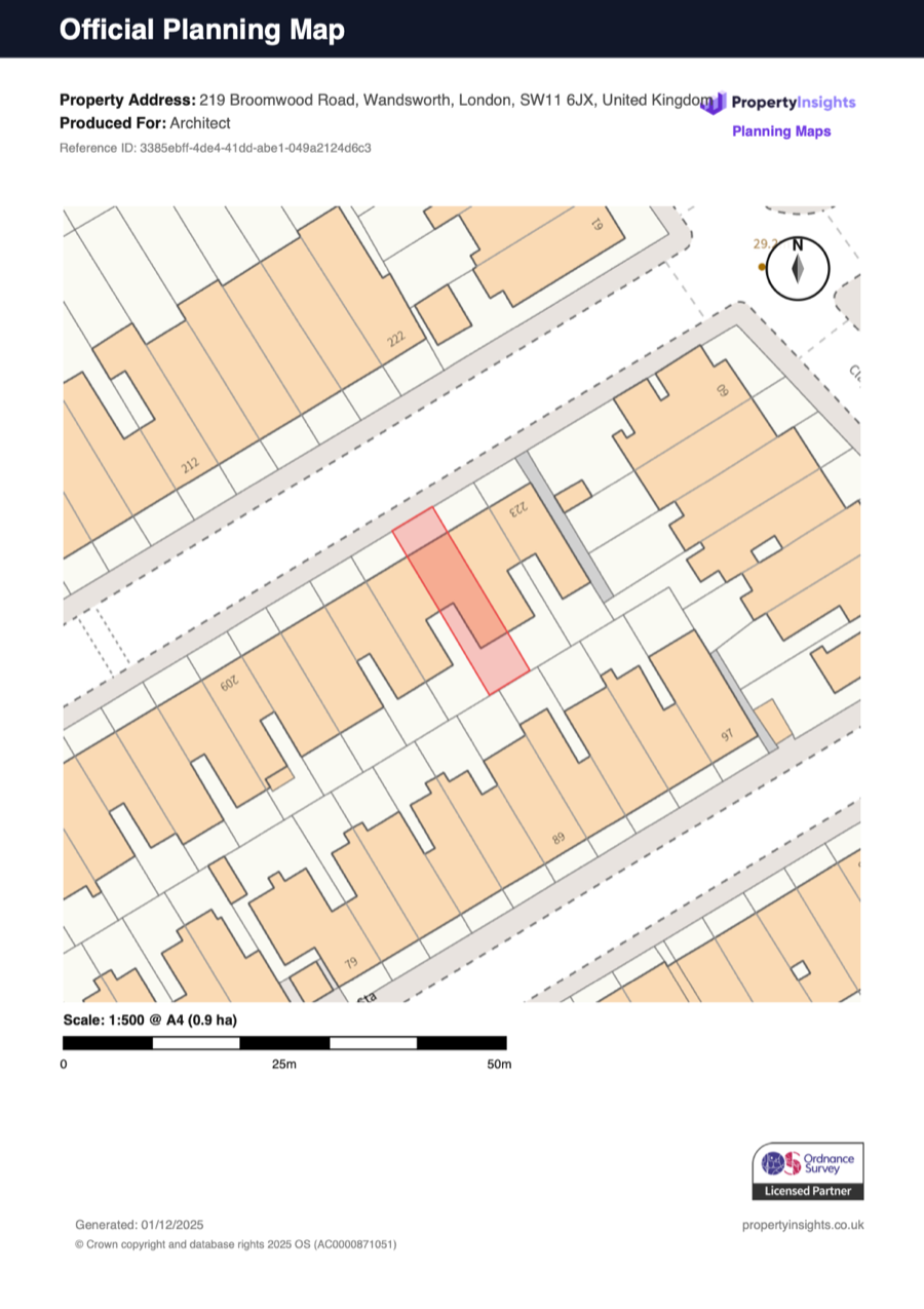
Choose the site, scale and coverage online, preview the area and order the files without waiting for a manual quotation. The map is positioned in OSGB36 British National Grid coordinates and supplied in metres.
The right format depends on what happens after the map is delivered.
| Format | Best for | Editable | Georeferenced | Typical next step |
|---|---|---|---|---|
| DWG | AutoCAD-led architecture and engineering workflows | Yes | Yes | Add design, dimensions and drawing sheets |
| DXF | Exchanging drawing data between CAD applications | Yes | Yes | Import into the receiving software and check units |
| Fixed-scale review and planning-submission sheets | Limited | No | Upload or print at the stated paper size |
Standard linework is generated from OS MasterMap Topography data. It can include mapped building footprints, roads, paths, structures, land-form features, walls, fences, vegetation features and cartographic text for the selected area.
OS topographic linework is not a legal property-boundary record and does not replace a measured topographical survey. Check the map against current site conditions and use the appropriate specialist data for title, level or construction decisions.
These current options show how scale and coverage affect the order.
| Scale | Coverage | From | Typical use |
|---|---|---|---|
| 1:200 | 0.1ha | £14.95 | Detailed compact site |
| 1:500 | 0.81ha | £29.95 | Block plan or site layout |
| 1:1250 | 3ha | £59.95 | Wider planning context |
| 1:2500 | 20ha | £235.95 | Large or rural sites |
Larger coverage tiers are available. Prices shown are for the stated entry option and may change when extra layers are selected.
Four-step workflow
Search the address or postcode and confirm the correct map position.
Select the scale and area that includes every feature needed by the design team.
Review DWG and DXF delivery and add contours or other available data only when required.
Complete checkout, follow the order status and open the delivered CAD files in your chosen software.
An OS CAD map is editable linework generated from licensed Ordnance Survey mapping and supplied for use in computer-aided design software. PlanningMapsUK delivers DWG and DXF files positioned in OSGB36 British National Grid coordinates.
DWG is AutoCAD's native drawing format. DXF is a drawing interchange format used to transfer drawing information between CAD applications. PlanningMapsUK supplies both formats with the same mapped area.
No. OS MasterMap provides detailed topographic mapping, but it is not a site-specific measured survey. Use a professional topographical survey when design or construction depends on precise levels, drainage, structures or setting-out dimensions.
No. Mapped walls, fences and other physical features are topographic detail and should not be treated as legal ownership boundaries. Use the appropriate Land Registry documents or boundary data when title extent matters.
Yes. The CAD linework is positioned in OSGB36 British National Grid coordinates and supplied in metres. Check the receiving drawing units and coordinate settings when importing it into another project.
Yes. OS Terrain 5 contours are available as an optional separate layer for projects that need terrain context. They are not included automatically in the standard MasterMap linework.
Internal Linking Hub
You May Also Need
Plan professional OS MasterMap CAD and GIS data cuts across DWG, DXF, GeoPackage, Shapefile, GML, GeoTIFF and vector PDF formats.
View CAD and GIS formatsBuy OS map DWG downloads for planning drawings, design development, and editable architectural base files.
Buy DWG mapsBuy a 1:1250 OS site location plan for planning applications, LDCs, and other council submissions.
Buy site location plan