
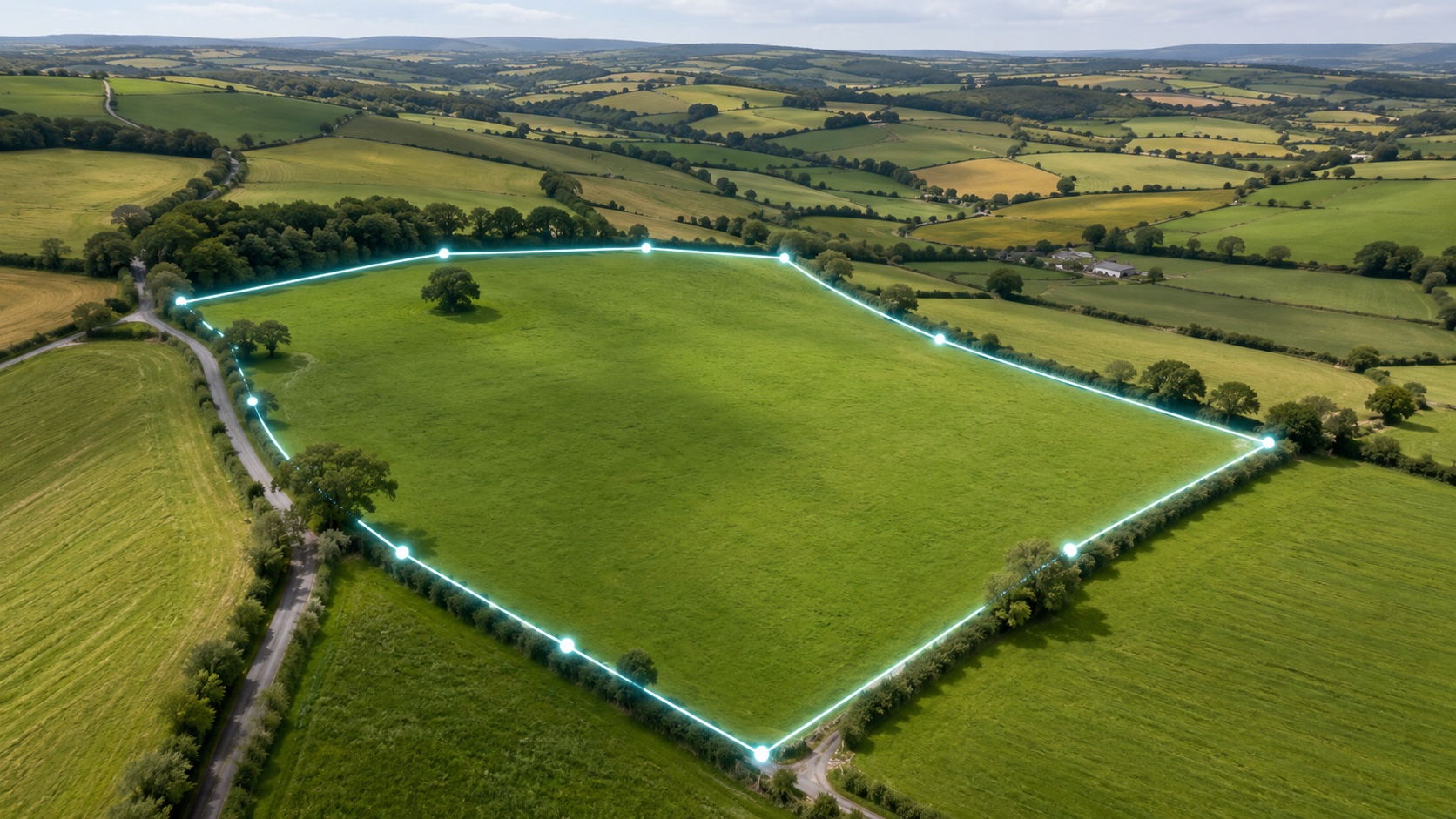
Two matched map views
Compare the numbered boundary on Ordnance Survey mapping and satellite imagery at the same scale.
HM Land Registry · Registers of Scotland · Ordnance Survey
Search an address in England, Wales or Scotland to see its registered boundary traced on the map, then download a GPS report with every corner coordinate, its distances and bearings.
Boundary Finder Report
From £35.00
Search an address or postcode above to find the registered general boundary.
See what arrives
Your property polygon is turned into a practical PDF pack: two map views, numbered corners, measurements and direct map links for every point.
PROPERTY OVERVIEW
Your selected propertyINSPIRE property boundaryOpen it on your phone, print it for a site visit or share it with a neighbour or professional as a clear starting point for the conversation.
Compare the numbered boundary on Ordnance Survey mapping and satellite imagery at the same scale.
Latitude and longitude for each polygon point, with direct Google, Apple and OS Maps links.
A segment-by-segment table shows the distance and direction from one boundary point to the next.
See the elevation profile across the plot plus available bedrock and superficial geology context.
Secure Stripe checkout · PDF sent by email
Your order companion guide
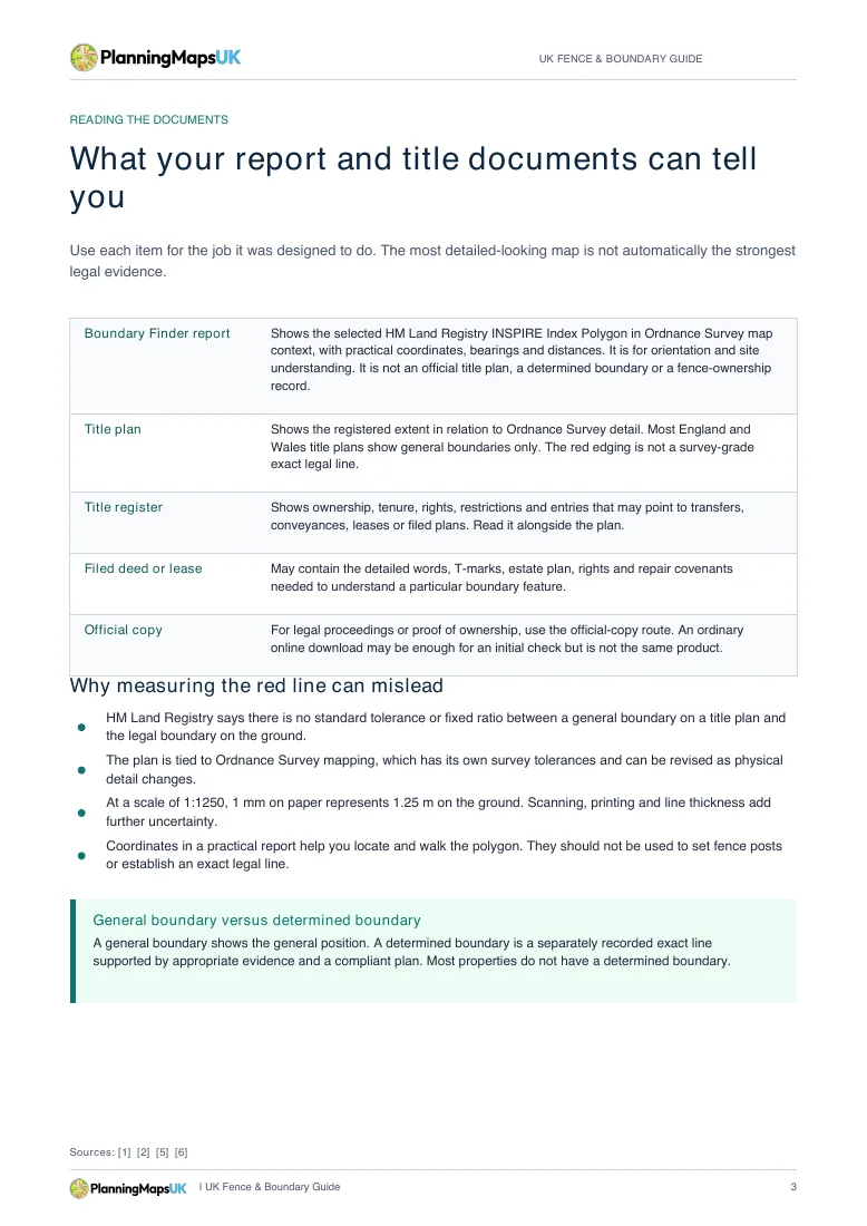
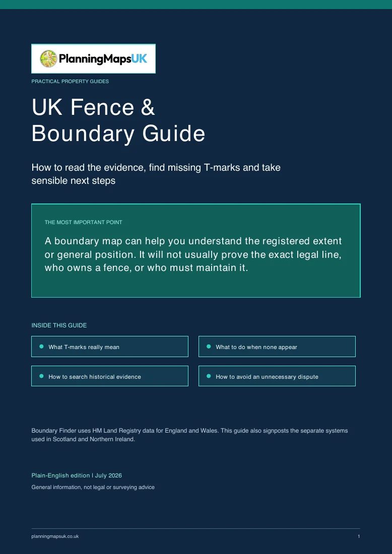
Your Boundary Finder order also includes our plain-English, 15-page UK Fence & Boundary Guide. It explains where to look when the plan is silent, what T-marks can mean and when to involve a surveyor or solicitor. It is supplied with your purchased report and is not offered separately on this page.
Delivered with your Boundary Finder PDF after checkout
Clear upfront pricing. Boundary report, map views, coordinate tables and the full guide included. Unusually wide map coverage is priced before checkout.
Find my boundaryGeneral boundary report
The report uses HM Land Registry or Registers of Scotland INSPIRE polygon data to show the registered title polygon as a general boundary. It is useful for understanding the shape, extent and approximate position of a title before speaking to a neighbour, solicitor or surveyor.
It does not replace the official title plan, title register, a determined boundary or a measured land survey.
Pick the property from address search so we can locate the right title polygon.
If more than one nearby polygon is found, choose the boundary that matches the property.
Checkout is handled through Stripe. Reports start at £35, with any extended-area mapping shown before checkout.
The report and guide are delivered to your email once the map pack is generated.
Boundary questions
You receive a property-specific PDF with INSPIRE boundary mapping, Ordnance Survey and satellite context, numbered polygon points, coordinates, segment distances, bearings, area and perimeter measurements, available terrain and geology context, plus the 15-page UK Fence & Boundary Guide.
No. It shows the indicative extent from HM Land Registry or Registers of Scotland INSPIRE data. Exact legal boundary positions require formal evidence and professional advice.
The report helps you understand the boundary position, but fence ownership depends on title documents, T-marks, historic deeds and agreements.
T-marks can show responsibility for a boundary feature where they appear in title documents. Many title plans do not include them.
No. The coordinates identify the points in the selected INSPIRE polygon and are useful for orientation and practical site checks. They must not be used to position a fence, settle a dispute or replace a measured survey.
No. Ordnance Survey maps show physical and topographic features on the ground. OS states that its maps do not show legal property boundaries or ownership of boundary features.
The Boundary Finder report is not an official title plan or title register. Where an HM Land Registry title match is available, official documents may be offered separately during the order flow.
The search can show nearby registered polygons so you can select the relevant title extent. If a property is split across multiple titles, each polygon may need to be considered separately.
INSPIRE polygons cover a subset of registered properties in England, Wales and Scotland. If no registered polygon is available, Boundary Finder cannot create a report for that title and the page will not take you to checkout.
Boundary Finder uses HM Land Registry INSPIRE polygons in England and Wales and Registers of Scotland INSPIRE parcels in Scotland. Coverage is incomplete, especially for Scottish flats and land still in the Sasine Register. Northern Ireland is not covered.
It can help organise an initial conversation and show the registered general extent, but it is not expert evidence and does not determine the legal boundary. For a dispute, consider a chartered land surveyor and legal advice.
Not on its own. Before moving or installing a boundary feature, check the title register, title plan and any filed deeds, speak to the neighbour where appropriate, and obtain professional advice if the position matters.
The report uses HM Land Registry or Registers of Scotland INSPIRE polygon data with licensed Ordnance Survey map context, address data and standard geographic measurements. Available terrain and geology sections use their named source datasets.
The report is generated after payment and sent to your inbox. Most reports should arrive shortly after checkout completes.