
Get your quote
Choose a location, area and format. Get the price before you commit.
POST /quotes An OS Maps API for your workflow.
Download Ordnance Survey maps in PNG, PDF, DXF or DWG.
Access the API for £50 / month VAT Not Applicable, maps charged on pay as you go basis
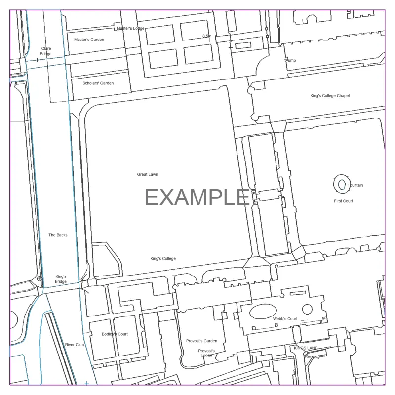
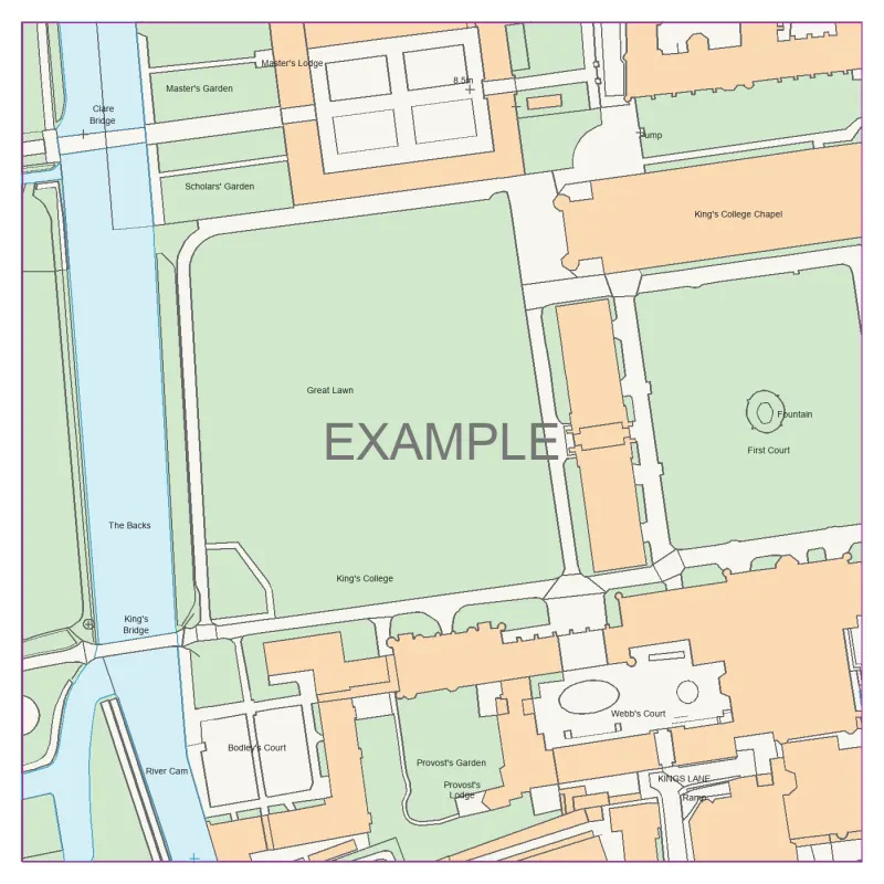
Your locationAddress, UPRN or coordinates
Your coverage0.1–25 hectares per map
Your formatPNG, PDF, DXF or DWG
Detailed mapping for site and design work.
A 100 m square, centred on your location.
File format
/api/v1/quotes{
"location": {
"uprn": "100000000001"
},
"map_type": "mastermap",
"hectares": 1,
"file_type": "pdf",
"layers": []
}
OS CAD maps API
Choose a location, area and format. Get the price before you commit.
POST /quotesAccept the quote. We reserve the balance and prepare your file.
POST /mapsCheck the job status. Download the completed file into your workflow.
GET /maps/{id}OS MasterMap API pricing
API access is £50 a month. Add a prepaid balance for maps, with a fixed quote before every order.
VAT Not Applicable · map credit not included
Business approval before subscription payment.
Live access opens after pilot approval.
Before you integrate
Approved businesses creating maps for their own projects and client deliverables. Public resale and embedded ordering platforms are outside the initial offering.
OS MasterMap Topography in PNG, PDF, DXF and DWG. OS Open Zoomstack contextual maps in PNG and PDF. Supported areas are within Great Britain; each quote checks dataset coverage.
Yes. Approved accounts can use test keys, a simulated balance and synthetic sample files. The sandbox does not spend your live balance.
The API does not infer or draw a property boundary. Check and annotate the output for your project before using it in an application.
Explore ArborLayer tree information, aerial imagery and OS Terrain 5 contours, spot heights and elevation grids. Layer pricing and output combinations are shown in the example.
Built for the way you work