CAD
Editable drawing files
- DWG Linework
- DXF Linework
- DWG Colour
- DXF Colour
Licensed OS MasterMap data cuts for professional drawing and GIS workflows, focused on DWG, DXF, GeoPackage, SHP and GML outputs.
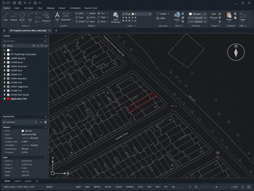


Loading map...
Search an address to begin
By clicking "Buy & download now", you agree to our terms, refund and corrections policy.
Search an address to begin
By clicking "Buy & download now", you agree to our terms, refund and corrections policy.
OS MasterMap CAD and GIS
Pick your site on the map, choose the CAD or GIS output your project needs, and work from the same licensed Ordnance Survey base your architects, engineers and planners already trust.
DWG/DXF
CAD workflow
GPKG/SHP/GML
GIS exchange
On demand
Export files
Output styles
Draw your site on the map and choose from the formats teams ask for most: linework or colour DWG/DXF for CAD, plus GeoPackage, Shapefile and GML for modern and legacy GIS systems.
CAD
Modern GIS
Legacy GIS
Format guide
Most architects and engineers want DWG or DXF straight into AutoCAD or Revit. GIS, planning and corporate teams often need GeoPackage, Shapefile or GML to fit their internal systems and procurement standards.
01
Search by address or postcode, then refine the boundary or drawn area directly on the map workspace.
02
Pick your primary CAD or GIS output. The focused export pack keeps DWG, DXF, GeoPackage, Shapefile and GML options clear.
03
Larger sites are priced by area, so you see the cost before checkout. No surprises on file count or layer numbers.
04
Files are delivered through secure, time-limited download links. Heavy exports are generated when needed rather than all at checkout.
Internal Linking Hub
You May Also Need
Download editable Ordnance Survey CAD planning maps in DWG and DXF for architects, surveyors, and consultants.
View CAD planning mapsBuy OS map DWG downloads for planning drawings, design development, and editable architectural base files.
Buy DWG mapsBuy Ordnance Survey planning maps online, including site location plans and block plans for council-ready submissions.
Buy OS planning maps