The enquiry usually starts with a sentence like this: "The standard map does not show enough of the site." It comes from a rural homeowner, a small developer, a consultant dealing with a long access track, or anyone trying to fit a larger parcel of land onto the kind of planning map most domestic buyers use without thinking.
Searchers phrase that problem in different ways. Some ask for large scale maps UK. Some ask for a 1:2500 planning map. Some say they need a bigger sheet, more surrounding land, or a map that actually shows the full driveway and road junction. The underlying need is the same: the default location plan or default page size is not telling the full site story.
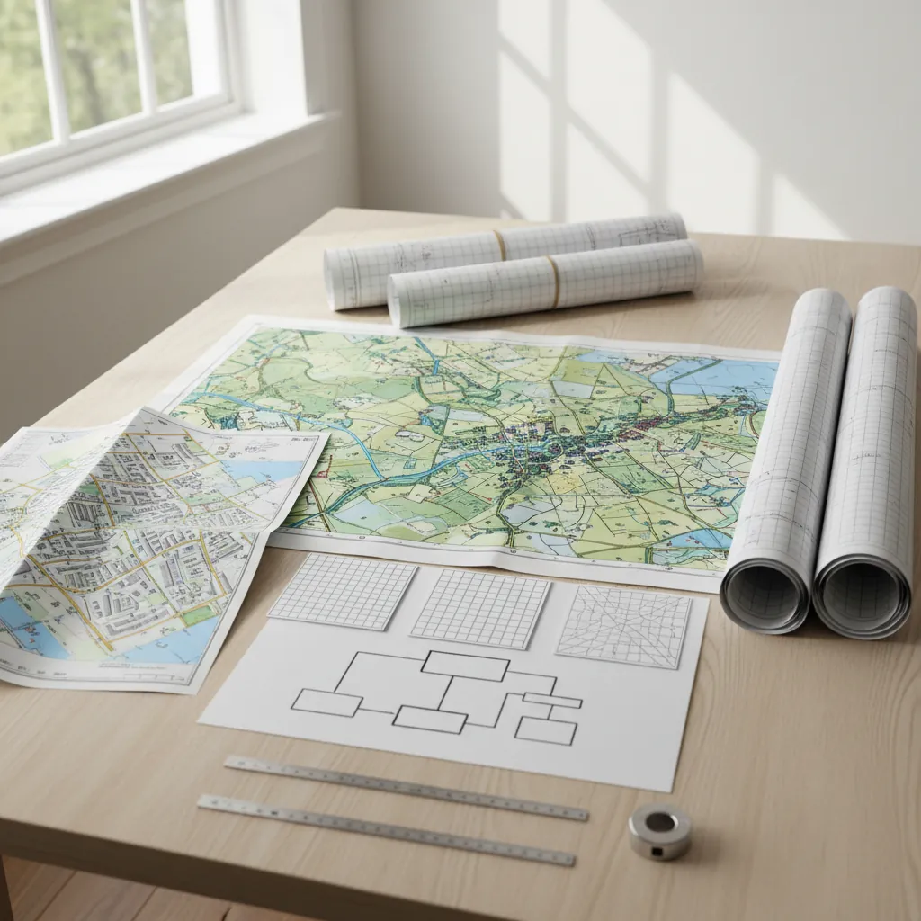
This guide is for that moment. If the site is larger, more rural, or more complex than the typical suburban plot, start on Ordnance Survey planning maps, check whether the wider site location plan needs 1:2500, and add CAD planning maps if the site or team needs editable base mapping.

Need large scale maps in the UK for a planning application?
What do people usually mean by "large scale maps UK"?
The short answer is that most buyers are not using the phrase in a textbook cartography sense. They usually mean one of three practical things:
- They need a map that covers more land
- They need a map that shows more useful context
- They need a format that works for a larger or more complex site
In technical mapping language, "large scale" can mean a more detailed map such as 1:500. But in planning-buying language, the search intent is often closer to:
- "My site is too big for the standard sheet"
- "I need the access road to show"
- "The property is rural and 1:1250 is not enough"
- "We need something bigger, clearer, or editable"
So the real buying decision is not about terminology. It is about choosing the right combination of scale, paper size, and format for the site.
Quick matrix: what should you choose?
| Situation | Best starting point | Why | When to add CAD |
|---|---|---|---|
| Standard urban plot | 1:1250 location plan + 1:500 block plan | Gives normal context and detail | Add only if designer requests editable files |
| Rural house with long driveway | 1:2500 location plan + 1:500 block plan | Wider map shows access and named-road context | Add CAD if the site is complex |
| Multi-parcel or awkward site | Wider location plan plus detailed site map | Need clearer context and cleaner drawing control | CAD often worth it |
| Architect-led or consultant-led project | Right scale plus editable mapping | Team may build multiple drawings from the same base | CAD strongly recommended |
| Large site that does not fit cleanly on A4 | Consider wider coverage or larger page size | Prevents over-cropping and poor context | CAD useful where the layout is evolving |
That is why "large scale maps UK" is rarely solved by a single blanket answer. The right response depends on what the site is failing to show.
When 1:1250 stops being enough
For typical suburban homes, 1:1250 works well because it shows the site with enough neighbouring roads and nearby context. But it starts to struggle when:
- The property sits far back from the road
- Access runs along a long drive or lane
- The plot is elongated rather than compact
- The nearest named-road context sits just beyond the sheet
- The site crosses more than one obvious land parcel
In those cases, the problem is not that 1:1250 is "wrong" in a theoretical sense. The problem is that it does not communicate the site clearly enough for validation and review.
That is when you should start thinking about 1:2500 for the location plan, or a broader planning maps route that lets you match the output to the geography instead of forcing the geography into a standard suburban assumption.
Why 1:2500 is often the right rural choice
For larger or more rural sites, 1:2500 is often the practical upgrade because it expands the amount of land and surrounding network visible on the page.
That matters when the authority needs to see:
- The full access from the property to the public highway
- The relationship between the site and nearby junctions
- Surrounding context that is too spread out for 1:1250
- The wider land arrangement for a site that extends beyond a compact domestic plot
Importantly, moving to 1:2500 on the location plan does not remove the need for site detail. It solves the context problem, not the detail problem. The detailed site relationship is still normally handled by the 1:500 block plan.
So the logic for larger sites is often:
- 1:2500 for the wider location plan
- 1:500 for the detailed site plan
- CAD if the team needs editable mapping or the layout is more involved
A3, A4, or CAD: which route solves the problem best?
When buyers say they need a bigger map, they are sometimes describing a scale problem and sometimes a format problem.
Choose a different scale when the context is missing
If the map does not show enough of the surrounding land or road network, that is usually a scale question.
Choose a different page size when the map is cramped
If the correct scale is broadly right but the output feels tight or hard to read, A3 rather than A4 may solve the presentation issue.
Choose CAD when the site is actively being worked on
If the site is awkward, changing, multi-disciplinary, or being developed into a broader drawing pack, CAD planning maps are often the smarter buy because:
- The layout can be refined without redrawing the base
- Architects and consultants can build multiple drawings from the same mapping
- Complex sites are easier to annotate and manage in editable form
The key is not to jump straight to CAD because it sounds professional. Use it when the design workflow genuinely needs editable mapping.
Quick matrix: what should you choose?
What larger-site buyers usually need to show
Larger or rural sites are not only about more hectares. They are also about different risk points.
Access clarity
Long drives, shared tracks, or rural lanes must often be shown more clearly than a standard suburban frontage.
Boundary completeness
On larger sites it is easier to leave out a corner parcel, verge, access strip, or operational area accidentally. That can create a misleading red line.
Context that makes sense to the authority
If the officer cannot quickly orient themselves, the file creates unnecessary friction. The map must still be readable and identifiable, not just technically "bigger".
Detail where it counts
Even on a large site, the specific part being developed still needs detailed treatment. That is why the 1:500 block plan remains relevant even when the location plan gets broader.
The difference between bigger coverage and more detail
This is where large-site buyers often get tangled up, because the language of scale can sound backwards.
If you need a map that shows more of the site and more of the surroundings, you usually need broader coverage on the location plan, often 1:2500.
If you need a map that shows the proposal area more precisely, you still need the more detailed 1:500 block plan.
So larger-site buying is often not about choosing one or the other. It is about using both properly:
- the broader map to identify the site and access
- the detailed map to show the proposal area clearly
That is the practical answer hiding inside a lot of large scale maps UK searches.
6 buying mistakes on large or rural planning sites
1. Forcing everything into a standard 1:1250 A4 location plan
This is the classic mismatch. The site may technically appear, but the useful context does not.
2. Using the wider map and forgetting the detailed map
The larger location plan solves the context problem, but it does not replace the need for the detailed site layout plan where building work is involved.
3. Treating page size as the only decision
A bigger page can help presentation, but it does not automatically solve a scale or coverage problem.
4. Ignoring access until validation
On larger sites, access is often the precise reason a broader location plan is needed. If the route to the highway is unclear, the map pack can unravel quickly.
5. Buying PDF first when the consultant really needs CAD
Complex sites often involve more annotation, versioning, and drawing coordination. If the team is already working in CAD, buy editable planning maps early.
6. Assuming "large scale" always means one fixed product
In practice it is a decision about fit: broader scale, different page size, or editable format depending on what the site is struggling to show.
Real scenarios: what should you order?
Large rural house with long driveway
Start with a 1:2500 site location plan and pair it with the normal 1:500 block plan for the detailed part of the site.
Barn conversion or small rural development
Use the broader planning maps route first because the site usually needs stronger context than a compact urban plot. Add CAD if the design team is producing a full technical set.
Commercial yard or mixed-use edge-of-settlement plot
Wider context and editable mapping are both more likely to matter. This is where CAD planning maps often become more valuable.
Domestic site that simply feels cramped on A4
Check first whether the issue is context or layout. If the scale is right but the presentation is tight, a larger sheet may help. If the context is missing, the scale choice is the first problem to solve.
FAQ: large scale maps UK
Q: What does "large scale maps UK" usually mean for planning buyers?
A: Usually it means the standard map does not show enough land or context, especially on larger or rural sites. The practical answer is often a 1:2500 location plan, a larger page size, or CAD for complex sites.
Q: When should I choose 1:2500 instead of 1:1250?
A: Choose 1:2500 when 1:1250 does not show enough surrounding context, access, or named-road information for the authority to identify the site clearly.
Q: Do larger sites still need a 1:500 block plan?
A: Usually yes. The broader location plan solves the context problem; the 1:500 block plan still handles the detailed site relationship around the proposal.
Q: Is A3 better than A4 for planning maps?
A: Sometimes. A larger page can improve readability, but it does not replace choosing the correct scale for the site.
Q: When should I buy CAD planning maps?
A: Buy CAD when the site is complex, multi-parcel, or being worked on by an architect, consultant, or surveyor who needs editable base mapping.
Q: What is the safest way to order for a rural site?
A: Start with the wider Ordnance Survey planning maps route, check whether the site location plan should be 1:2500, and add CAD if the project team needs editable files.
Conclusion
If you are searching for large scale maps UK, the real question is not "which buzzword do I need?" It is "what combination of scale, page size, and format actually shows my site properly?"
For most larger or rural planning cases, that means moving beyond the default suburban assumption: use a broader site location plan where needed, keep the detailed 1:500 block plan for the proposal itself, and add CAD when the site or team needs editable mapping.
Start with Ordnance Survey planning maps now and choose the right large-site mapping route before validation becomes a problem.