The most expensive planning-map mistake is rarely a dramatic one. It is buying one file, submitting it, being asked for another, then realising the second file now needs to be recreated with the same boundary, scale logic, and site context all over again. That is how a cheap document problem turns into a delay problem.
That is why people search for a planning permission map pack. They are not just looking for "a map". They are looking for the safest bundle of planning map documents that will satisfy the council, align with the designer, and stop them having to guess which file comes next.
If that is your position, the commercial answer is usually straightforward: start on Ordnance Survey planning maps, pair the site location plan with the block plan, and only add CAD planning maps if the design team needs editable files.
If you want a faster decision before buying, use the Which planning map do I need? tool. If the remaining question is scale, compare the options with the planning map scale chooser.

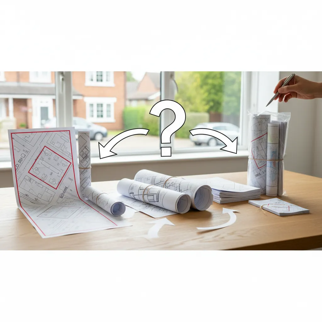
Need a planning permission map pack?
What belongs in a planning permission map pack?
The short answer is that a practical homeowner-focused map pack usually contains:
- A site location plan at 1:1250
- A block plan / site plan at 1:500
That pair covers the two most common planning map requirements:
- identifying the site in its wider context
- showing the detailed site layout around the proposal
Some buyers should also add CAD:
- if an architect asks for DWG or DXF
- if the site is larger or more complex
- if the wider drawing pack will be built from editable mapping
So the important point is this: a map pack is not a random bundle. It is a deliberate combination of files that answer different planning questions without making you buy the same base mapping twice.
Pack comparison: which route fits your project?
| Pack type | Best for | Includes | Main risk if you choose too small |
|---|---|---|---|
| Location plan only | Very limited cases with no detailed site-layout requirement | 1:1250 wider context map | You later discover the council also wants the detailed site plan |
| Standard homeowner pack | Most extensions, lofts, outbuildings, dropped kerbs, LDCs | 1:1250 location plan + 1:500 block plan | Low risk for standard residential work |
| Homeowner pack + CAD | Architect-led or consultant-led residential projects | Standard pack plus editable mapping | Slightly higher cost, but better workflow for design teams |
| Larger-site / rural pack | Rural sites, long drives, larger parcels | Often 1:2500 location plan + 1:500 block plan, sometimes CAD | Wrong context scale if you stay on the basic urban assumption |
For most domestic buyers, the standard pack is the right answer. The job is then to recognise the few situations where you should go broader or more editable.
Why buying the pack usually beats buying single maps one by one
It keeps the red-line boundary consistent
A planning application becomes harder to trust when the location plan and detailed site plan show slightly different boundaries. A bundled route reduces that risk because both documents come from the same mapped site setup.
It answers the two-map problem upfront
Many applicants only realise late in the process that councils often want both a wider location map and a more detailed site plan. The pack solves that from the beginning.
It reduces rework with architects and consultants
If the design team needs editable mapping, adding CAD planning maps as part of the same order is cleaner than rebuilding the base later.
It simplifies buying decisions
Most people do not want to learn the whole planning mapping industry just to upload a valid application. A good map pack turns the process into a sensible default rather than a technical puzzle.
What each part of the pack actually does
The site location plan
This is the wider 1:1250 map that shows where the property sits within the surrounding road and site context. It is the validation anchor for the application.
The block plan / site plan
This is the more detailed 1:500 map that shows the plot layout, boundaries, buildings, access, and the immediate relationship of the proposal to the site.
CAD planning maps
These are the editable mapping files used by architects, consultants, and surveyors when they need DWG or DXF rather than just a PDF planning submission file.
The reason the pack matters is that these are not duplicate products. They are different layers of the same planning story.
What a good map pack saves you from later
Applicants often think about the pack only in terms of convenience, but its real value is that it removes several predictable planning problems before they appear.
Boundary drift
If the wider location map and the detailed site plan are created separately, the red-line boundary can drift between versions. A bundled route helps keep one site definition across the full set.
Re-buying the obvious second file
This is the most common waste. Someone buys a location plan, uploads it, and then discovers the authority also wants a block plan. The pack avoids that very predictable second-order problem.
Workflow mismatch with the design team
If the architect later asks for editable mapping, the pack decision helps you recognise whether CAD planning maps should be included now rather than after the mapped base has already been set up once.
Which projects should buy a full pack first?
Extensions
Buy the standard map pack. This is the classic case where the council wants both the wider site reference and the detailed site layout.
Loft conversions
Again, the standard pack is usually the smart route. The maps sit alongside the architectural drawings and help keep the site definition clear.
Outbuildings and garden rooms
The block plan matters because the relationship to boundaries and neighbouring plots is often central to the application.
Dropped kerbs and access changes
The location plan provides wider context; the detailed plan helps show frontage and access arrangement.
Rural or larger sites
Start with the broader planning maps route because the location plan may need 1:2500 and the project may justify CAD as well.
Pack comparison: which route fits your project?
When should you add CAD to the pack?
Not every buyer needs CAD, but when it is needed, it is worth adding early rather than late.
Add CAD when:
- Your architect asks for DWG or DXF
- The site is larger, phased, or awkwardly shaped
- Multiple planning drawings will be prepared from the same base
- You want the technical team to avoid retracing the same mapping
Skip CAD when:
- You only need compliant PDFs for a straightforward submission
- There is no design team asking for editable base files
- The project is small and document needs are simple
The commercial point is practical rather than theoretical: buy the format your workflow actually needs.
5 map-pack mistakes that waste time
1. Buying a location plan and assuming it covers everything
For many applications, it does not. The detailed site plan still needs to be supplied.
2. Buying the block plan without the wider context map
That leaves the portal or council without the standard location reference file.
3. Ordering from different providers
That increases the chance of inconsistent boundaries, different presentation standards, or duplicate effort.
4. Ignoring the possibility of CAD until the architect asks
If the team needs editable mapping, it is usually easier to add it from the start.
5. Treating every project as if it needs a bespoke pack
Most standard homeowner jobs do not. The normal location plan + block plan pair remains the right default.
Real-world buying routes
"I am a homeowner doing a rear extension"
Buy the standard pack: location plan plus block plan. This is the clearest and safest route.
"I have an architect preparing the full submission"
Buy the standard pack and ask whether they also want CAD planning maps. If yes, include them now.
"I am applying for a dropped kerb"
Buy the standard pack and pay close attention to frontage and access in the boundary setup.
"My site is rural and the drive is long"
Start with the broader Ordnance Survey planning maps route, because the location plan may need 1:2500 rather than the default urban assumption.
"I just want the easiest option that avoids mistakes"
The pack is built for exactly that. Buy the common planning pair through one workflow instead of trying to guess and assemble documents one by one.
How to choose between the standard pack and the broader route
Use this rule of thumb if you are still on the fence.
Choose the standard pack when:
- the property is a normal urban or suburban house plot
- the project is a straightforward homeowner application
- PDF submission files are the main requirement
Move to the broader route when:
- the site is rural, spread out, or awkwardly shaped
- the access route needs more context than a standard urban plan provides
- the designer needs editable mapping
- the project is likely to grow beyond a simple domestic pack
That is why the standard pack should not be seen as a compromise. It is the default because it genuinely fits most cases. You only move beyond it when the site or workflow gives you a clear reason.
What the pack does not remove from your to-do list
Buying the right map pack solves the mapping decision, but it does not magically complete the whole application. You may still need to coordinate with an architect, check the authority's validation list, and prepare any project-specific supporting information.
That is actually a strength, not a weakness. A good planning permission map pack should do one job clearly:
- give you the correct mapping foundation
- keep the red-line boundary consistent
- reduce the chance of buying the wrong first file
Then the rest of the submission can be built on top of that stable base rather than around a map problem that should have been solved at the start.
FAQ: planning permission map pack
Q: What is a planning permission map pack?
A: It is a practical bundle of planning maps, usually including a site location plan and block plan, sometimes with CAD added where the project team needs editable files.
Q: Do I need both a location plan and a block plan?
A: For most planning applications involving building work, yes. The location plan identifies the site; the block plan shows the detailed site layout.
Q: Is CAD always part of the pack?
A: No. CAD is useful when architects, consultants, or surveyors need editable DWG or DXF files. For straightforward homeowner submissions, PDF is often enough.
Q: Which map pack is best for a rural site?
A: Usually a broader version of the standard pack, with a 1:2500 location plan instead of 1:1250, and CAD if the site is large or complex.
Q: Is a pack better than buying maps separately?
A: In most cases, yes. It keeps the boundary setup aligned and reduces the chance of discovering a second map requirement later.
Q: What is the easiest way to order the right pack?
A: Start on Ordnance Survey planning maps, choose the site location plan and block plan together, and add CAD only if your workflow needs it.
Conclusion
If you are searching for a planning permission map pack, you are usually looking for the safest route through a confusing document requirement. In most cases that means buying the standard pair together: the site location plan for context and the block plan for detail, with CAD added only where a design team genuinely needs editable mapping.
That is why the best place to start is Ordnance Survey planning maps. It turns a multi-document planning requirement into a clear buying decision instead of a guessing game.
Build your planning permission map pack now and keep the application moving from the first upload onward.