
Commercial planning applications often involve more moving parts than a domestic extension. A shop, office, workshop or mixed-use property may have shared access, servicing areas, customer parking, neighbouring units and public highway relationships that need to be understood quickly.
The map still has two central jobs: identify the application site and show what is happening within it. Start with a site location plan, then add a detailed block plan or CAD map where the project needs more technical coordination.
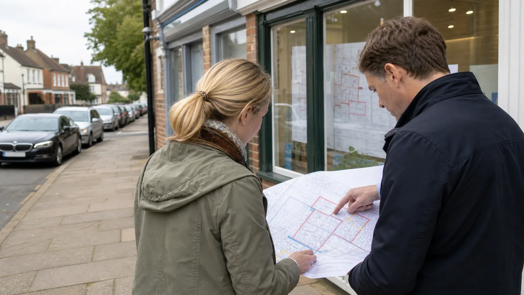
Commercial maps may need to make servicing, parking, access and neighbouring units clear.
Begin with the application site
The red line should identify the land to which the proposal relates. For a shopfront alteration, that might be a compact premises and frontage. For a change of use, it may include the full unit, yard, access and associated operational area.
Do not assume the whole ownership belongs in the red line. Conversely, do not make the red line so narrow that it omits land needed to operate the proposal.
Ask:
- Which building or unit is changing?
- Is a yard, loading area or service route involved?
- Does the proposal alter parking or vehicle access?
- Does landscaping, drainage or external storage form part of the scheme?
- Is any adjoining land owned by the applicant but outside the application?
The answers should align with the application form, ownership information and design drawings.
The location plan provides the wider context
A location plan usually uses 1:1250 or 1:2500 and shows the site in relation to surrounding streets, buildings and access routes. Commercial sites often sit in dense or complex areas, so a readable map is more useful than a page that simply contains the red line.
Check that the plan shows:
- The complete premises or operational site.
- The public road connection.
- Nearby streets and buildings that identify the location.
- The red boundary and any relevant blue boundary.
- North, scale and OS licence information.
If the site is rural or extends across a large yard or field, consider whether a wider scale or larger sheet is needed.
The detailed plan explains the proposal
A block or site plan at 1:500 or 1:200 can show the relationship between the existing premises and proposed work. Depending on the application, this may include:
- Building footprints and extensions.
- Customer or staff parking.
- Delivery and servicing access.
- Turning areas and loading bays.
- Pedestrian routes and entrances.
- Refuse storage and cycle parking.
- Boundary walls, fences, trees or landscaping.
- Neighbouring structures that affect the assessment.
The map base does not replace a highways plan, landscape plan or architectural drawing where those are required. It provides a consistent location and measurement foundation for them.
When CAD is worth ordering
PDF is often suitable for the final planning submission. DWG or DXF is more useful when a professional needs to coordinate the map with an architectural or engineering package.
CAD can reduce manual tracing and help preserve the relationship between the building, boundary, access and wider map. Ask the person preparing the drawings which format and coordinate system they need before ordering.
You can compare the options on the CAD planning maps page.
Shared ownership and access
Commercial premises frequently involve shared yards, rights of way, service roads or neighbouring units. The map should show the land relevant to the proposal, while the application documents deal with ownership and notices.
Do not colour a shared access blue simply because it is not yours. First decide whether it belongs inside the red application boundary, then verify the ownership certificate and local requirements.
Common mistakes
- Drawing the red line around only the shopfront when the application changes the whole unit.
- Omitting the service yard or access route.
- Showing parking on the plan but not describing it consistently in the application.
- Using a location plan as a substitute for a detailed layout plan.
- Ordering PDF when the designer needs editable CAD.
- Uploading a cropped web map without scale or licence information.
Final review
Put the location plan, detailed plan and application form together. Confirm that the premises, access, parking and boundary tell the same story. Then check the relevant local validation list, because commercial proposals can trigger additional information requirements.
For a coordinated starting point, use the OS planning map pack and add CAD where the design workflow requires it.
Map the customer, service and neighbour journeys
A commercial plan becomes more informative when it shows movement rather than just objects. Trace three journeys through the proposal: a customer or visitor arriving, a delivery or refuse vehicle servicing the premises, and a neighbour passing the site. Each journey can expose a missing piece of context.
| Journey | Questions the plan should help answer |
|---|---|
| Customer or employee | Where is the entrance, accessible route, cycle parking and car parking? |
| Delivery or refuse | Which gate is used, where does a vehicle wait or turn, and what hours/use does the statement describe? |
| Neighbour or passer-by | Where are shared boundaries, homes, pavements and potentially affected access points? |
The map is not a transport assessment, but it should let the specialist documents be understood. A servicing note that refers to “the rear yard” is weak if no submitted plan identifies that yard.
Match the map to the application description
“Change of use of first floor” needs a different boundary and drawing emphasis from “new extraction equipment, rear enclosure and extended trading hours.” Break the proposal into land-use, building and operational components, then check that each can be located in the plan set.
The Planning Portal’s full-planning guidance lists examples of additional information that larger proposals may require, including access, materials, waste, hours and past or proposed industrial uses. The authority’s local validation list remains decisive for the actual submission.
Deal carefully with multi-unit sites
Retail parks, converted houses, industrial estates and office blocks often contain several addressable units within one ownership or management structure. Label the application unit clearly and show communal land only to the extent relevant to the proposal. Confirm whether parking bays, yards or corridors are demised, shared or simply used by agreement.
Do not infer legal rights from the layout of an OS base map. HM Land Registry’s guidance explains that title plans generally show general boundaries, not the exact line of ownership. Leases, transfers and management documents may be needed to understand a commercial unit properly.
A practical issue-room review
Before submission, put the planner, architect and transport or operational adviser around the same latest plan—literally or on screen. Ask each person to identify the land and features their document relies on. Resolve inconsistent names such as “service court”, “rear yard” and “loading area” if they describe the same place.
Then check drawing revisions and the red line. A late shopfront change may not affect the application site; a new condenser compound, extraction route or bin store might. The boundary should follow the real proposal, not remain frozen simply because the location plan was ordered first.
This cross-disciplinary review is where a commercial map earns its value: it gives different specialists one dependable spatial reference without pretending to replace their analysis.
Worked example: a high-street café conversion
Imagine a former shop becoming a café. The internal change of use is only part of the spatial story. The proposal also includes a rear extraction flue, refuse storage in a shared service yard and two pavement tables. A red line around the shop unit alone may fail to describe all land to which the application relates; a red line around the entire building and service court may include land with no connection to the proposal.
Start with a location plan that unmistakably identifies the unit. On the detailed plan, label the public entrance, rear door, flue position, bin area and any outdoor seating. Mark shared areas factually and coordinate the proposed land with the ownership certificate and notices. The elevations should use the same front/rear orientation as the site plan, and the operational statement should use the same names for each area.
Then run three specialist checks. Can the highways reviewer locate customer cycle parking and deliveries? Can the environmental-health reviewer relate extraction and waste storage to neighbouring homes? Can the case officer distinguish private, shared and public-space proposals? If not, the answer may be an additional focused drawing rather than more notes on the statutory location plan.
Questions commercial applicants often overlook
Should the red line include leased common parts? It depends on which land forms the application site, not simply on the lease label. Confirm the proposal and ownership-certificate implications with the appropriate adviser.
Can one block plan serve existing and proposed conditions? A combined drawing can work when the graphic distinction is exceptionally clear. Separate existing and proposed plans are safer where access, parking or servicing changes materially.
Does an OS map show every current unit division? Not necessarily. Internal demise and recent external alterations may need a measured survey, lease plan or site verification. Label the unit from evidence, not from assumption.
Is a larger sheet always better for an industrial estate? Only if it improves legibility. A wider location view plus a focused detailed plan is usually clearer than shrinking a large estate onto one overloaded page.
That is the expert standard to aim for: every operational statement can be traced to land on a plan, every proposed feature appears on the right technical drawing, and no boundary colour claims more than the evidence supports.
Class E and Class MA Conversions: Mapping Commercial Prior Approvals
Commercial property underwent a legislative revolution with the creation of Use Class E (Commercial, Business and Service) under the Town and Country Planning (Use Classes) (Amendment) (England) Regulations 2020:
1. Internal Changes Within Class E
Shifting a premises from a shop (former A1) to a restaurant (former A3), office (former B1), gym (former D2), or medical clinic (former D1) does not constitute "development" under Section 55 of the Town and Country Planning Act 1990 because both uses sit within Class E.
- No planning permission or planning map is required if there are no external alterations.
- However, the moment you install an external kitchen extraction flue, rear fire escape, or new shopfront, a full planning application with certified 1:1250 and 1:500 OS plans is triggered.
2. Class MA Prior Approval: Commercial to Residential
Under Schedule 2, Part 3, Class MA of the GPDO, commercial Class E units can be converted into residential dwellings (Class C3) under Permitted Development:
- Applicants must submit a formal Prior Approval Application accompanied by a statutory 1:1250 location plan and 1:500 site plan.
- The plan must demonstrate adequate natural light to all habitable rooms, fire safety access for emergency vehicles, and refuse storage without encumbering customer servicing bays.
Heavy Goods Vehicle Tracking: Swept Path Analysis on OS CAD
Highway authorities routinely object to commercial applications unless the site plan includes a dynamic Swept Path Analysis (AutoTRACK):
- The Standard Vehicles: Planners audit plans against standard design vehicles defined in the Freight Transport Association (FTA) Design Guide:
- 16.5m Articulated Lorry: Requires a 12.5m minimum turning radius with significant rear trailer swing.
- 11.2m 3-Axle Refuse Freighter: The municipal standard vehicle used to audit bin store collection routes.
- The CAD Requirement: Highway engineers cannot model swept paths on a static PDF. They require a georeferenced DWG CAD map based on OS MasterMap to plot the steer path, body envelope, and wheel tracks directly over physical kerbs, bollards, and building corners.
External Plant, Extraction Flues, and Acoustic Buffers
For commercial kitchens, bakeries, manufacturing units, or air-conditioned offices:
- BS 4142:2014+A1:2019 Acoustic Audits: Environmental Health Officers assess noise from external condenser units, chillers, and air handling units (AHUs).
- The Metric Clearance Requirement: Your 1:500 or 1:200 site plan must clearly annotate the exact metric distance from the proposed acoustic enclosure or roof plant directly to the nearest window of a neighbouring residential dwelling. If this separation distance is omitted from the plan, Environmental Health will log a holding objection.
Outdoor Seating and the Highway Boundary
If your commercial café or pub proposal includes outdoor tables, planters, or timber decking:
- The Adopted Highway Line: The highway boundary frequently extends right up to the shopfront glass, encompassing the entire pavement width.
- Pavement Licences vs Planning Permission: If the outdoor seating sits within the adopted highway, you must obtain a Pavement Licence under the Business and Planning Act 2020.
- Pedestrian Clearances: Department for Transport Inclusive Mobility guidelines require maintaining a minimum unobstructed footway clearance of 1.5 metres (ideally 2.0 metres) between your seating barrier and the road kerb to accommodate wheelchairs and prams. Your block plan must dimension this pedestrian corridor precisely.