
New-build and development-site applications need maps that communicate more than a single property address. The authority may need to understand the development parcel, highway connection, surrounding land, access, parking, landscaping and any phasing or infrastructure that forms part of the proposal.
The map pack should be coordinated with the application form, design drawings and technical reports. Start with the OS planning maps workflow and add CAD mapping when the design team needs an editable base.
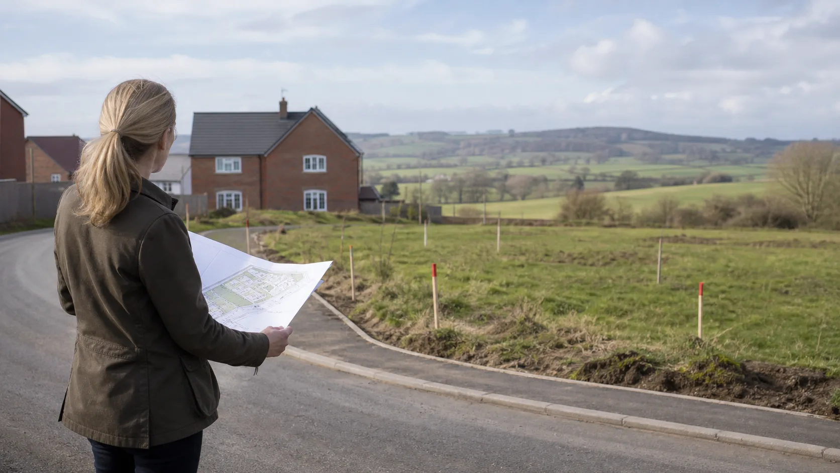
A development-site map needs to make the relationship between the land, access and surrounding context easy to follow.
Define the development site
The red boundary should identify the land included in the application. For a single dwelling, this may be one plot and its access. For a larger scheme, it may include several plots, shared roads, open space, drainage, landscaping or infrastructure needed to deliver the development.
Do not include unrelated land simply because it belongs to the same owner. Do not omit land needed for access or the operation of the proposal.
The red boundary should agree with the site area, ownership information, illustrative layout and other drawings.
The location plan
A location plan at 1:1250 or 1:2500 places the site in its wider setting. Larger sites may need a wider extent or larger sheet so the authority can understand the relationship to settlements, roads and nearby land.
Check that:
- The complete red site is visible.
- The route to the public highway is understandable.
- Nearby roads and buildings provide context.
- Important access or boundary sections are not clipped.
- North, scale and licence information are present.
The detailed site plan
A block or site plan at 1:500, 1:200 or another appropriate scale can show:
- Proposed building footprints.
- Existing buildings and retained features.
- Internal roads and access.
- Parking and turning.
- Footpaths and cycle routes.
- Landscaping and open space.
- Boundary treatment.
- Service, drainage or refuse areas where relevant.
The exact content depends on the scheme and local validation list. A map is not a substitute for a transport assessment, landscape plan or engineering drawing.
CAD for design coordination
Larger schemes often benefit from editable vector mapping. A CAD base can help the architect or engineer position buildings and site infrastructure without manually tracing a PDF.
Before ordering, ask the design team about:
- DWG or DXF preference.
- Required coverage.
- Coordinate or grid requirements.
- Layer structure.
- Whether height or contour data is needed.
The final planning submission may still use PDFs, while CAD remains part of the design workflow.
Phasing and partial applications
If the scheme is phased, make clear which land belongs to the current application. A large ownership parcel should not automatically become the red site if only one phase is being considered.
Where later phases depend on shared access, infrastructure or landscaping, coordinate the map and written description carefully. A narrow phase boundary that omits essential delivery land can create uncertainty.
Common failures
- The red line does not include the access connection.
- The location plan shows a different site area from the layout plan.
- The detailed plan omits neighbouring structures or highway context.
- A large scheme is reduced to an unreadable scale.
- CAD is ordered with insufficient coverage.
- The plan is exported without OS licensing information.
Final review
Put the location plan, site layout, ownership information and application form together. Check the same site boundary, access and development description appears throughout. For complex schemes, ask the design team to review the map base before the final drawings are issued.
Use the planning map scale chooser for the wider view and the CAD maps page for editable technical outputs.
Split the site into understandable decisions
Large development sites become easier to map when you separate the questions the application must answer:
| Decision | Useful map information |
|---|---|
| Where is the land? | Roads, settlements, nearby buildings and a clear location boundary |
| What is the site today? | Existing buildings, access, vegetation, field edges and hardstanding |
| What is proposed? | Plots, buildings, roads, parking, open space and service access |
| How will it operate? | Movement routes, turning areas, refuse access and connections |
The location plan should not carry the entire masterplan. Use the detailed site layout and specialist drawings for the design, while ensuring all plans use the same red-line site and orientation.
Phasing and revision control
If the proposal is phased, label the phase that the application actually covers. Do not let a future phase appear to be part of the current red-line application unless that is intentional. Keep a revision note on the detailed plan and make sure the application form uses the same description.
Before issue, compare the map against the latest highway, drainage and landscape information. A road alignment or access point can change late in design, and that change may affect the map extent or the relationship with neighbouring land.
A useful design-team handover
Give the architect or planning consultant the original map PDF, not only a screenshot embedded in a drawing. Include the supplied paper size and scale, the order or reference information and the agreed site boundary. This protects the map's proportions and makes later revisions easier to audit.
Establish a base-data strategy
New-build schemes quickly outgrow a single map. Agree which dataset controls each part of the design before several consultants create conflicting backgrounds.
| Dataset | Appropriate role | Important limitation |
|---|---|---|
| Licensed OS mapping | Wider existing context and site identification | Not a project topographical survey |
| Topographical survey | Levels, measured features and design coordination | Limited to its surveyed scope and date |
| Title documents | Ownership investigation | Usually general rather than exact boundaries |
| Utilities searches | Known service records | Positions may need on-site verification |
| Architect’s model | Proposed design | Must reference the agreed survey and revision |
Ordnance Survey’s OS Maps API information describes detailed mapping including OS MasterMap Topography Layer. Use that strength for context, then commission measured information proportionate to the engineering and legal risk.
Make the red line a design-team decision
For a new home, the application site may need to include the dwelling plot, access, parking, drainage, landscaping and other land necessary to carry out the development. It should not automatically mirror the ownership title or the eventual sale plot.
Run a boundary workshop with planning, highways, drainage and landscape inputs visible. Ask whether any visibility splay, attenuation feature, habitat area, service route or off-site work is part of the proposal. Resolve ownership and notice implications at the same time. The Planning Portal’s guidance distinguishes the red application site from nearby or adjoining land owned by the applicant shown in blue.
Show enough context for place-making
A technically valid location plan can still be unhelpful if it treats the site as an island. New development is assessed in relation to streets, buildings, landscape and movement. Use a context plan or wider diagrams where the proposal’s relationship to settlement form, public rights of way or landscape features matters.
Do not overload the statutory location plan with every design concept. Keep the formal map clear and use separate, well-sourced analysis diagrams for character, connectivity and constraints.
Control late changes
Access and drainage changes are especially likely to alter land take. When either moves, re-run four checks: red line, ownership certificate, all site plans and the application description. Then issue a new revision across the affected set.
For outline or phased proposals, state which matters and phase the plan covers. Keep future work visually distinct from the current application. A reviewer should never have to guess whether a road, parcel or landscape area is proposed now, reserved for later or merely illustrative.
Finally, remember that title mapping does not settle centimetre-level boundaries. HM Land Registry explains the general boundaries rule. Where developable area or access width is tight, obtain the right survey and legal advice before the design hardens around an assumption.
A gateway review before planning issue
Freeze the survey, red line and proposed site layout long enough to run one coordinated review. Invite the architect, planner and the leads for highways, drainage and landscape. Each should identify the latest information their design relies on and confirm that its land lies inside the intended application site or is otherwise dealt with correctly.
Record unresolved items rather than disguising them with approximate graphics. A drainage outfall “subject to agreement”, for example, may carry ownership and land-take implications that need resolving before submission. The same applies to off-site visibility works, service connections and habitat measures.
After the review, issue a dated drawing register and archive the superseded set. New-build projects change quickly; a formal gateway prevents a late consultant plan from carrying an old access or boundary into the application.
Major vs Minor Thresholds: How the Red Line Dictates the Process
Under Article 2 of the DMPO 2015, how you draw the red-line boundary determines whether your new-build scheme is classified as a Minor or Major development:
| Statutory Classification | Dwelling Threshold | Site Area Threshold | Statutory Clock | Key Statutory Triggers |
|---|---|---|---|---|
| Minor Development | 1 to 9 residential units | Less than 0.5 hectares (5,000 m²) | 8 Weeks | Exempt from mandatory affordable housing in most areas. |
| Major Development | 10 or more residential units | 0.5 hectares (1.24 acres) or more | 13 Weeks (16 wks with EIA) | Triggers Section 106 contributions, statutory SuDS, BNG audits. |
The 0.5-Hectare Trap
If you are submitting an application for only 3 executive detached houses, but you draw the red line around a 1.5-acre paddock (0.6 hectares) including spare grazing land:
- The council's computer system automatically classifies your scheme as Major Development because the red line exceeds 0.5 hectares!
- Consequences: Your statutory planning fee triples, your statutory determination period extends from 8 to 13 weeks, and the council may demand formal Design Review Panels and major infrastructure viability appraisals.
- The Best Practice: Tighten the red line to enclose only the 3 house plots, driveways, gardens, and access (keeping site area under 0.49 ha), and outline the remainder of the field in blue.
Highways Infrastructure: Section 38 and Section 278 Connections
For any development involving new estate roads or significant highway alterations under the Highways Act 1980:
- Section 38 Adoption Agreements: If the internal spine road, turning heads, and street lighting are intended to be adopted by the Highway Authority and maintained at public expense, the entire road corridor must be clearly delineated within the red application site.
- Section 278 Off-Site Highway Works: If the highway engineer conditions an off-site junction upgrade—such as a ghost-island right-turn lane, pedestrian refuge island, road widening, or new tactile paving crossings—that public highway land must be included within the red line.
- The Ownership Notice: Because highway verge and tarmac are owned by the Highway Authority (or frontager to the centerline), including highway land within your red line requires signing Certificate B and serving Notice No. 1 on the County Council or Unitary Authority Highways Department.
Sustainable Drainage Systems (SuDS) and Surface Water Outfalls
Under national planning policy and Schedule 3 of the Flood and Water Management Act 2010:
- Zero Runoff Increase: Development sites must discharge surface water at greenfield runoff rates (typically using QBAR calculations).
- The Attenuation Footprint: 1:500 block plans must reserve adequate spatial footprints for attenuation ponds, detention basins, or underground geocellular crate storage.
- The Outfall Route Must Be in Red: If your surface water discharges to an off-site ditch, culvert, or public sewer 100 metres outside your plot, the route of that discharge pipe must be included in the red line. Omitting the drainage connection renders the planning permission legally incapable of being implemented.
Mandatory 10% Biodiversity Net Gain (BNG) Spatial Mapping
Under Schedule 7A of the Town and Country Planning Act 1990, all new-build developments must deliver a minimum 10% Biodiversity Net Gain (BNG):
- Developers must submit a certified Statutory Biodiversity Metric Calculation alongside baseline habitat maps.
- Your detailed landscape plans must accurately map retained hedgerows, scrub, native tree planting, and ecological swales, establishing baseline habitat units against proposed post-development units.