
Pre-application advice is an opportunity to ask the council how it is likely to view a proposal before a formal application is submitted. That conversation is only useful if the officer can understand which land, access and surrounding context the enquiry concerns.
A clear site location plan and a detailed block plan can provide that shared reference point. The council's own pre-application service will determine exactly what it wants to receive.
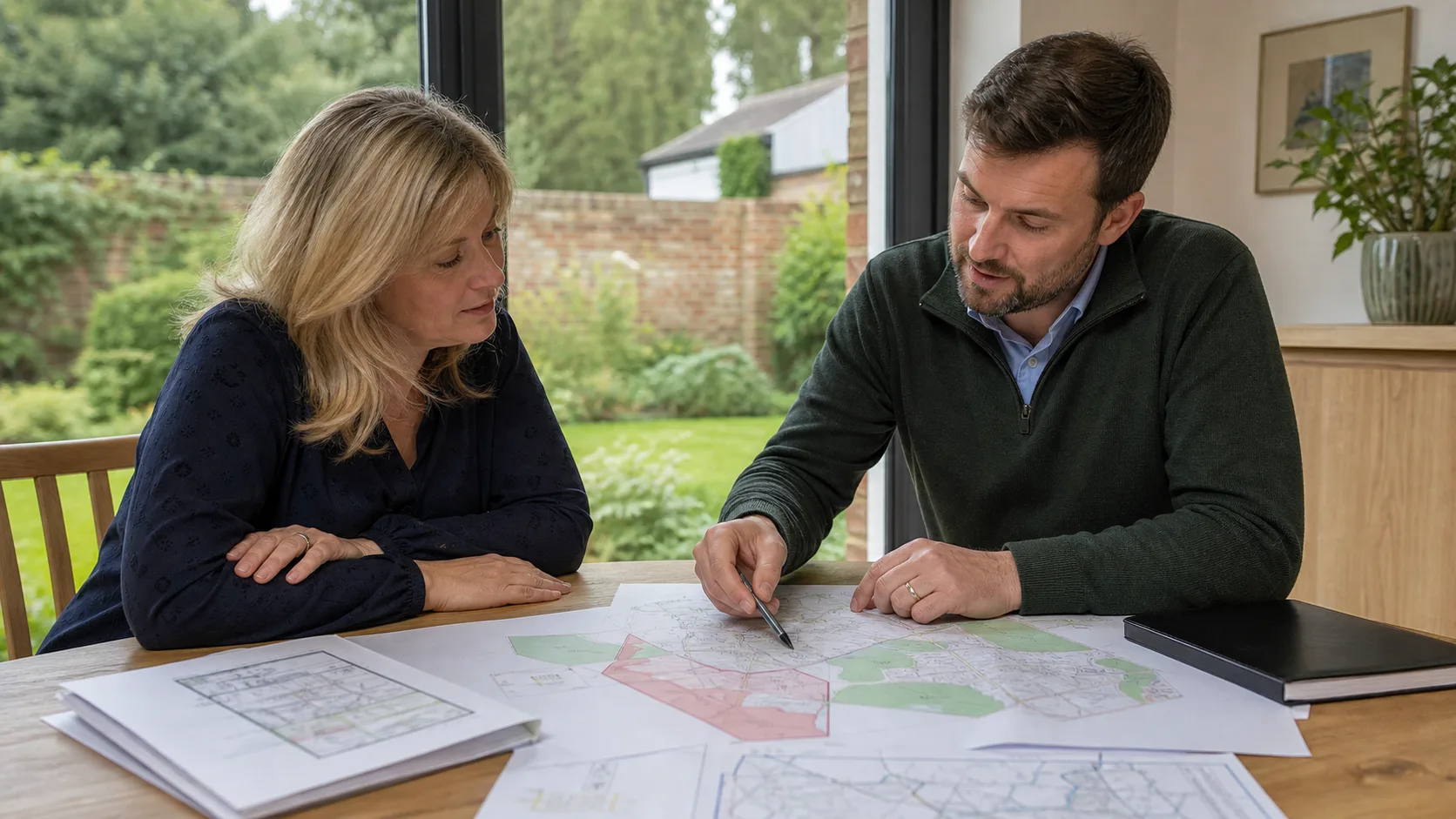
A clear early map gives pre-application discussions a shared reference point.
Define the question before drawing the map
Pre-application advice is not a substitute for a full planning submission. The map should support a specific question, such as:
- Is the proposed extension likely to be acceptable in principle?
- Could a new dwelling use this access?
- Would a change of use affect parking or servicing?
- How should a rural building and access be treated?
- Does the proposal need a wider site or ownership context?
The clearer the question, the easier it is to decide which land and proposal detail the map should show.
What to send
Many enquiries benefit from two views:
| Map | Role |
|---|---|
| Location plan | Identifies the site and wider surroundings |
| Block or site plan | Shows the proposal, access and immediate site context |
Add architectural sketches, photographs or a written description where the authority asks for them. A planning map is not a design statement, and it should not be expected to explain every aspect of the proposal on its own.
Draw the boundary around the enquiry site
The red line should show the land being discussed. For a house extension, that may include the house, garden and relevant access. For a larger proposal, it may include a development parcel, access route, parking, landscaping or other operational land.
Do not draw a tiny red rectangle around the proposed building if the advice request concerns the wider site. Equally, do not include unrelated holdings merely because they belong to the same owner.
If nearby land ownership matters, show relevant adjoining land separately and explain it in the written enquiry. Keep the boundary consistent with the description and any sketch plans.
Choose a useful scale
A 1:1250 location plan is a common starting point for identifying a site in an urban or suburban setting. A rural proposal may need a wider view at 1:2500 or another suitable scale so the access and surrounding context can be understood.
The detailed view is commonly 1:500, with 1:200 useful for compact or complex sites. The council may specify its preferred scale, paper size or number of copies, so check the service guidance before ordering.
What makes a pre-application map useful
The map should make it easy to identify:
- The property or development parcel.
- The approach from the public highway.
- Nearby buildings and relevant boundaries.
- Existing access, parking or service areas.
- The proposed operational area.
- Any adjoining land that changes the context.
Include the north point, scale bar, stated scale and licence information where a formal map is required. Avoid screenshots that lose the page and licensing details.
When the formal application changes
Advice may lead to a different proposal. If the red line, access, site area or development footprint changes, prepare an updated map pack for the formal application. Do not assume that the pre-application map can simply be uploaded unchanged.
Keep the earlier map with the advice correspondence so you can see what the council considered. Give the later plans their own date and revision reference.
Final check
Before sending a pre-application enquiry, check the council's document list, map scale and file format requirements. Make sure the written proposal, location plan and detailed plan all describe the same site.
If you need the maps, create a coordinated OS planning map pack and use the scale chooser when the site or access is unusual.
What a useful pre-application map should answer
The officer should be able to understand the idea before reading every paragraph. A clear map can answer four basic questions:
- Where is the property or land in relation to nearby roads and buildings?
- What part of the land is being discussed?
- Where is the existing building, use or access?
- Where would the possible development sit?
For an early conversation, the proposal can be indicative, but it should not be misleading. If the footprint is approximate, say so in the accompanying note. If several options are being discussed, label them clearly and do not present an option map as the settled application boundary.
Match the level of detail to the question
A small householder alteration may need a location plan and a simple detailed site plan. A rural enterprise, new dwelling or change of use may need a wider view showing access, neighbouring uses and the operational area. A conservation-area or heritage question may need additional context around the building and street.
The purpose of the enquiry should guide the map extent. More land is not automatically more helpful. An oversized plan can make the proposed relationship hard to see, while a crop that excludes the access route may produce an incomplete answer.
Record the advice properly
Save the map version sent with the enquiry and keep the council's response with it. If the proposal changes, issue a new revision rather than silently replacing the earlier plan. That record helps distinguish advice given on one concept from the requirements for a later formal application.
Use the map to ask a better question
Pre-application advice is most useful when the authority can understand the decision you want help with. “Can I build here?” is broad. “Would the principle and access position shown on drawing SK-03 be acceptable for one dwelling?” gives the map, proposal and question a common reference.
| Weak enquiry | Better map-led question |
|---|---|
| Is an extension possible? | Does the indicated depth and relationship to No. 14 raise a policy concern? |
| Can this barn change use? | Is the red-edged building and yard an appropriate planning unit for the proposed use? |
| Where should access go? | Which of the two labelled access options should be assessed further? |
The map does not need to look final. It does need a date, title, revision and clear legend so the response can be tied to the right concept.
Separate constraints from assumptions
Plot known information first: site, ownership context, existing access, buildings and relevant official designations. Label unverified ideas as indicative. If a constraint comes from an external dataset, name the source and retrieval date.
For heritage proposals, consult the authority’s appraisal and the Government’s historic-environment guidance. For ordinary plan requirements, use the Planning Portal’s plan comparison and the council’s local guidance. This prevents a generic sketch from being mistaken for due diligence.
Send proportionate supporting material
A concise pre-application pack might contain:
- a one-page cover explaining the site, proposal and questions;
- a licensed location plan with the enquiry site edged clearly;
- an existing and indicative proposed site plan;
- a small photo sheet keyed to the plan; and
- only the specialist information needed to understand the issue.
More pages do not guarantee better advice. A well-indexed ten-page pack can outperform an unstructured hundred-page bundle because the officer can see what is fixed, what is optional and where advice is needed.
Treat the response as scoped evidence
Advice is usually based on the facts and drawings submitted at that time. Create a response schedule: list each question, summarise the answer and record the drawing revision the authority saw. Highlight any caveat, request for further work or policy change to monitor.
Before the formal application, compare the new scheme with that schedule. If the red line, use, scale, access or design has materially changed, do not present the earlier advice as if it covered the new proposal. Re-consult where the difference matters.
This disciplined record is the real value of a pre-application map: it turns an exploratory conversation into traceable design guidance without pretending that the sketch is an approval.
Questions worth putting to the authority
Ask focused questions the submitted plans can help answer: whether the red-edged planning unit is understood correctly; whether the wider context shown is sufficient; which local validation documents are likely to apply; and which of two genuinely feasible access or layout options merits further work.
Avoid asking the council to certify ownership, exact boundaries or private rights. Those sit outside the planning map’s competence and need the appropriate evidence or advice. Also avoid treating silence on one issue as approval: a pre-application response is shaped by the questions and information supplied.
Close the pack with a short assumptions list. State, for example, that ownership is under review, levels are indicative or the access survey is pending. Honest assumptions let the officer qualify advice intelligently and give the project team a clear action list afterward.
The Legal Reality: Non-Binding Status of Pre-App Advice
Applicants frequently misunderstand the legal enforceability of council pre-application advice:
1. Discretionary Charging Powers (Section 93 LGA 2003)
Pre-application services are not free statutory duties; they are discretionary commercial services operated under Section 93 of the Local Government Act 2003 and Section 111 of the Local Government Act 1972, allowing councils to recover costs.
2. The Legal Disclaimer: Advice Cannot Bind the Council
Under established administrative case law (R v Secretary of State for the Environment ex parte Simpson 1999):
- A written pre-application letter stating "the principle of development is acceptable" does not legally bind the council or guarantee that planning permission will be granted.
- If a neighbour mounts a compelling policy objection during statutory consultation, or if local planning policies change (e.g. adoption of a new Local Plan or Neighbourhood Development Plan), the council can refuse the formal application without incurring liability.
- However, pre-app correspondence is material evidence in any future Planning Appeal (Section 78 TCPA 1990) if the council later refuses a scheme on grounds previously cleared at pre-app.
The Public Disclosure Trap: FOI and EIR 2004
Many applicants assume their pre-application drawings and sketches remain strictly confidential between them and the case officer:
- Environmental Information Regulations 2004 (EIR): Planning files are legally classified as environmental information. Under EIR 2004, members of the public, journalists, or rival property developers can submit requests to inspect pre-application letters, site location plans, and scheme layouts.
- When Does It Become Public? While councils generally treat active pre-apps as confidential during ongoing discussions under Regulation 12(5)(e) (commercial confidentiality), once a formal planning application is lodged on the site, the entire historic pre-application file is typically uploaded directly to the public planning register.
- Protecting Land Deals: If you are negotiating an option agreement on a rural plot, ensure your pre-application maps do not display confidential option purchase values or proprietary contract notations.
Cost-Efficiency: Reusing the Pre-App OS Plan for the Final Submission
The smartest way to handle pre-application mapping is to order your formal 1:1250 OS MasterMap Location Plan at the pre-app stage:
- Avoid Free Screen Grabs: Hand-drawn red lines on free web screenshots look amateurish and prevent the officer from accurately assessing plot depths or tree constraints.
- One Purchase, Two Uses: When you order an official PlanningMapsUK licensed map for your pre-app pack, the resulting PDF and CAD data are legally licensed for statutory planning use.
- Seamless Transition: If the pre-app feedback is positive and your red-line boundary remains unchanged, you can upload the exact same certified PDF directly to the Planning Portal for your formal application, avoiding duplicate map fees.
Planning Performance Agreements (PPAs) on Major Sites
For substantial residential developments or sensitive mixed-use schemes:
- What Is a PPA? A Planning Performance Agreement is a formal project management framework entered into between the developer and the council under Section 111 of the Local Government Act 1972.
- Mapping Milestones: A PPA sets out agreed deadlines for site meetings, design workshops, and committee dates. Providing high-resolution OS MasterMap CAD layers at the initial PPA inception meeting ensures that council urban designers, highway engineers, and flood risk officers evaluate the proposal against verified topographic baseline data from day one.