
Rural change-of-use applications often involve an existing barn, yard, farm building or isolated property that sits within a much larger holding. The planning map needs to separate the land relevant to the proposed use from the rest of the ownership while still showing the access and wider setting.
Begin with a site location plan, then add a block plan where the building, yard or access needs closer detail.
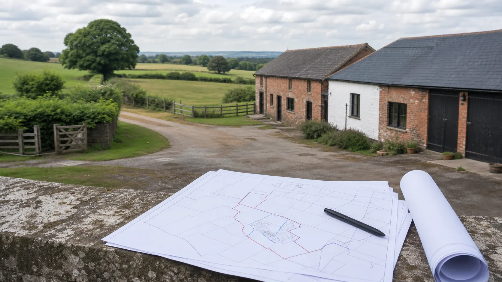
For rural change-of-use work, the building and operational land should be placed in their wider setting.
Define the area changing use
The red boundary should identify the building, land or operational area covered by the application. It may include:
- The building being converted.
- A yard or curtilage used by the proposed activity.
- Parking and turning.
- A private access route.
- Servicing, drainage or external storage.
- Landscaping or mitigation land integral to the scheme.
It should not automatically cover the entire farm, estate or ownership parcel. A clear boundary makes the application easier to assess and helps the ownership information make sense.
Show the rural context
An isolated site may not be identifiable from a tightly cropped map. The location plan should show enough surrounding roads, buildings, field patterns or landmarks to establish where the site is.
At 1:1250 the proposed site may be clear but the nearest recognisable road may disappear. A 1:2500 view or larger paper size may be more useful where the access or setting extends across a wide area.
Check the preview for the full route, not only the building.
The detailed plan
A closer site plan can show:
- Existing building footprint.
- Proposed use or conversion area.
- Yard and parking.
- Access and turning.
- Nearby buildings.
- Walls, hedges, gates and trees.
- Drainage or service areas where relevant.
The detailed map supports the design and written statement. It does not replace measured surveys, ecology reports, highways information or other documents required for the proposal.
Access and ownership
Rural applications commonly rely on shared drives or private tracks. If the proposal needs that route, consider whether it belongs within the red application boundary. The map inclusion question is separate from who owns the land and what notices are required.
Do not show a shared track in blue simply because it is not owned by the applicant. Check the ownership position and authority requirements together.
Common mistakes
- Red line around the barn but not the access needed to use it.
- Entire farm included when only one building is changing use.
- Map scale too close to show the public highway.
- Proposal described as one building while the plan shows a larger yard operation.
- Location and detailed plans using different site extents.
- Using a title plan instead of a licensed OS planning map.
Final check
Confirm the address, building, access, operational area and red boundary agree across the form, map, drawings and supporting statement. Use a wider scale when the rural context genuinely needs it, but keep the application site legible.
The planning map scale chooser can help compare coverage, while the OS planning map pack keeps the wider and detailed views aligned.
Map the use, not just the building
For a change-of-use proposal, the operational area may matter as much as the building itself. A former agricultural building becoming a workshop, holiday unit, office or storage space may involve parking, deliveries, turning, external seating, waste storage, lighting or a route between buildings.
Start with a written list of activities, then check whether each one is visible or explained in the map pack. This does not mean covering the plan with labels. It means selecting a detailed view that gives the authority a fair picture of how the site would function.
When one map is not enough
A compact urban change of use may be clear on a single block plan. A rural or edge-of-settlement proposal may need two coordinated views: a wider location plan for the access and relationship to surrounding land, plus a detailed plan for the building, parking and operational area.
Use the same orientation, site boundary and proposal description on both. If the wider map shows a route that disappears from the detailed view, explain where the two views join. Consistency is more valuable than forcing every feature onto one crowded page.
Supporting information to coordinate
Compare the map with the planning statement, transport note, photographs, floor plans and any noise, drainage or ecological information. If a supporting report refers to a yard, track or parking area, the map should make that reference intelligible. If an area is excluded from the red line, make sure the written description does not imply that it forms part of the application.
Define the planning unit carefully
A rural change of use may relate to one building, a building and yard, part of a field or a wider operational enterprise. The planning unit is not automatically the same as a Land Registry title or farm holding. Agree the extent with the planning adviser and describe it consistently in the red line, form and supporting statement.
Test the proposed use by activity:
| Activity | Land that may need to be understood |
|---|---|
| Visitor arrival | Access track, entrance, parking and pedestrian route |
| Deliveries | Gate, loading area, turning and storage |
| Outdoor use | Yard, seating, display, exercise or amenity area |
| Waste and servicing | Bin location, collection route and plant |
| Staff operation | Work areas, welfare, parking and hours-related context |
This is not an instruction to put all land inside the red line. It is a prompt to decide which land forms part of the application and which surrounding land is only relevant context.
Use mapping to connect specialist evidence
Rural proposals can raise highways, landscape, ecology, flood-risk, noise or heritage questions. Give features stable names or references across reports. If the ecologist uses “hedgerow H2” and the access drawing calls it “north hedge”, a coordinated constraints plan should make the relationship unambiguous.
Use official, current datasets for designations and attribute them. The Government’s planning practice guidance collection provides national topic guidance, while local plans and validation lists set the site-specific policy and document context. A generic OS base should not be presented as if it contains every designation.
Consider lawful existing use separately
If the proposal relies on an existing use, planning history or a claimed lawful use, document that basis carefully. GOV.UK’s lawful development certificate guidance explains the need for precise factual information and evidence. The merits of a new use and the lawfulness of an old one are different questions.
Photographs, declarations, invoices or aerial evidence should be keyed to a plan so the authority can identify the exact building or area. Avoid vague phrases such as “the site has always been used for storage” where several barns and yards appear on the holding.
Check ownership without overstating the title plan
Long tracks, ransom strips and shared yards make rural ownership coordination important. Review titles, leases and rights with the appropriate adviser. HM Land Registry warns that title plans generally show general rather than exact boundaries, so do not derive a precise access width from the red title edging.
The final pack should allow a reviewer to trace the proposed use from the public road to the exact operational area, then follow every supporting report using the same named features. That is a far stronger rural submission than a large red polygon with little explanation.
Worked example: barn to small workshop
Suppose an existing barn is proposed as a craft workshop with four staff, occasional customers and deliveries. The building footprint alone does not describe the use. The application may also rely on a yard, customer parking, a delivery turning area, bin storage and a long farm access.
Prepare a wider plan that locates the barn and the route from the public road, then a detailed proposed layout showing the operational areas. Give each parking and servicing area the same name used in the transport and planning statements. If other farm traffic shares the yard, distinguish the existing operation from the proposed workshop rather than implying exclusive use.
Now compare the red line with the description. If customer parking is an integral part of the proposal but sits outside the boundary, the documents conflict. If an entire field is inside the red line although the proposal never refers to it, the application may raise unnecessary questions. Adjust the extent on evidence, not simply to produce a neat shape.
Four questions before submission
Has the baseline use been established? Planning history and factual evidence should support any claim about the existing lawful use.
Are maximum activities described consistently? Staff, visitors, deliveries, hours and outdoor storage should not vary between the form, plan and reports.
Can every mitigation measure be located? Landscaping, acoustic fencing, drainage and habitat measures need stable plan references.
Does the plan distinguish consent from private rights? A planning decision does not grant ownership or access rights. Keep the title and deed review separate and accurate.
These checks turn a generic “change of use” map into an operationally credible application record.
Class Q and Class R: The Statutory Rural Conversion Framework
Most rural building conversions are pursued through statutory Prior Approval under Schedule 2, Part 3 of the GPDO 2015:
1. Class Q: Agricultural to Residential Conversions
Class Q permits the conversion of agricultural barns into residential dwellings (Use Class C3):
- The 2024 Legislative Expansion: Modernized rules allow the creation of up to 10 dwellings across a single agricultural unit, with an overall cumulative maximum floorspace cap of 1,000 square metres.
- The Strict Curtilage Rule (Paragraph X): Under Paragraph X of Part 3, the permitted domestic curtilage around a Class Q conversion cannot exceed the exact land area occupied by the agricultural building itself:
- If the barn has a footprint of 200m², your proposed residential curtilage (garden and domestic parking combined) cannot exceed 200m².
- If your 1:500 block plan draws a red line enclosing a half-acre garden around the barn, the council is legally required to refuse Prior Approval immediately.
2. Class R: Agricultural to Flexible Commercial Use
Class R allows agricultural buildings to change use to flexible commercial uses (including Class E shops, offices, restaurants, light industrial, and Class B8 storage):
- The floorspace ceiling was expanded to 1,000 square metres.
- The site plan must demonstrate adequate parking, commercial servicing, and noise mitigation without urbanizing the open countryside.
The Burdle Doctrine: Defining the Rural "Planning Unit"
When dividing a rural holding, case officers apply the legal principles established in the landmark Court of Appeal case Burdle v Secretary of State for the Environment 1972:
- The Three Categories of Planning Unit:
- A single unit of occupation with one primary use (e.g. an entire working livestock farm).
- A single unit of occupation with multiple composite uses sharing operations.
- A distinct parcel of land or building within a wider ownership that has achieved physical and functional separation.
- Why It Dictates the Red Line: Converting a redundant grain dryer into an independent commercial wedding venue or workshop carves out a brand-new planning unit. Your red-line boundary must physically reflect this functional separation (fences, separate driveways, independent parking) so the council can evaluate highway and amenity impacts in isolation.
Nutrient Neutrality and Ecological Mapping in Rural Catchments
In over 70 local planning authorities across England, rural residential conversions face strict Nutrient Neutrality (Nitrates and Phosphates) moratoria enforced by Natural England under the Conservation of Habitats and Species Regulations 2017:
- The River Catchment Problem: Converting a barn into residential dwellings increases domestic foul sewage discharges, loading protected river catchments (such as the Somerset Levels, Solent, River Wye, or Norfolk Broads) with nutrients.
- The Blue-Line Solution: To offset wastewater nutrients, applicants frequently take adjoining agricultural grazing land out of high-intensity fertilisation. Outlining that fallowed mitigation land in blue on the site location plan allows the council to secure the nutrient offset through a legally binding Section 106 agreement.
Protected Species: Mapping Bats and Barn Owls
Under the Wildlife and Countryside Act 1981, agricultural barns are primary habitats for protected species:
- Phase 1 and Phase 2 Emergence Surveys: Required between May and September for any rural building undergoing structural alterations.
- Mapping Roosts on the Block Plan: The 1:500 block plan must locate external bat access tiles, internal timber roosting ridges, and barn owl boxes, alongside an annotated "dark corridor" lighting plan proving that external security floodlights will not illuminate sensitive hedgerows.